Underground Utility Locating
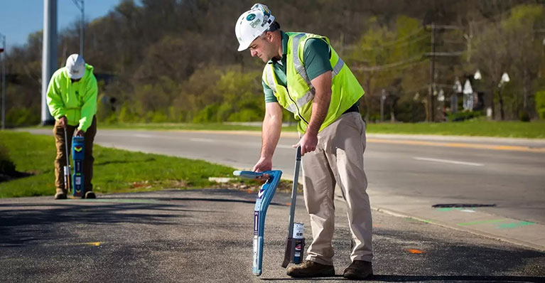
The Underground Detective locates private utilities using state-of-the-art equipment for all pre-excavation and site planning needs. The state one-call (811) only marks public utilities, those which are before the service meter. Any utility beyond the service meter is usually considered private, which will require a second call to The Underground Detective. Know the misconception of private versus public utilities.
Some examples of private utilities not located by the State One-Call:
Residential
- Gas line to a heated swimming pool
- Electric to a detached garage/barn
- Sanitary or storm sewers
Commercial
- Parking lot lighting
- Fire & domestic water mains
- Any building to building utility
Utility Locating Services by The Underground Detective
Utility locating is a two-step process. The Underground Detective not only uses electromagnetic locating equipment, but also uses ground penetrating radar, and locating sondes to properly locate underground utilities. All of our technicians are extensively trained on a program based on the Staking University and focused to do quality work, NOT quantity. We strive to save people time, money, and valuable resources. The Underground Detective has experience in working on sites such as:
- Residential
- Commercial
- Government
- Petroleum/Gas Station
- Industrial
Subsurface Utility Engineering
SUE is an engineering technique which identifies the quality of underground utility information. Using this technique will result in better designs and enhance damage prevention efforts. The American Society of Civil Engineers (ASCE) developed standard 38-02, which is a guideline for the collection and depiction of subsurface utility data. By following this guideline, you will gain accurate utility information.
Quality Level D: Utility information is plotted on drawings based solely on records, individual recollections, or the existence of a utility service.
Quality Level C: Utility information is obtained similarly to level D and then plotted with surface utility features that have been field verified, survey located, and accurately reduced onto documents.
Quality Level B: Utility information is derived by establishing the surface horizontal location of utilities using electronic methods such as electromagnetic locating equipment and ground penetrating radar. This is followed by a field survey and reduced onto 2 dimensional maps.
Quality Level A: The 3-Dimensional position of a utility is obtained. Although the ASCE does not specifically name vacuum excavation as the standard, this is the method preferred by most engineers.
Be aware of the factors that affect utility locating:
- Weather Conditions
- Limitation of Technology with certain materials
- Misconception of private vs public utilities
- Soil type and grounding of utility
The Underground Detective’s goal is to identify both the type and location of underground utilities in order to prevent damage to them and the surrounding environment as well as protect you and your workers on the projected job site. The risk of not utilizing state one-call (811) and/or a private utility locating company can put you at risk for utility damage, injury, and even death. Don’t take the risk! Call 811 Before You Dig and then…
After 811 locations, call The Underground Detective for all other utilities.
Utility Locating: Frequently Asked Questions
By law, 811 has to be called before we are allowed to double check their work, especially on excavation projects. If utility information is needed for survey purposes, after you have waited the required time for your state, we can assist in locating their utilities.
Plastic is non-conductive, so electromagnetic locating equipment will not work. We will use ground penetrating radar. Soil type and conditions will determine if we can locate it or not. Dry, sandy soil is best case scenario, while moist clay and wet soil is worst case.
Most of time we are using ground penetrating radar for this.


